

- Joined
- Apr 3, 2017
- Messages
- 12
- Reaction score
- 1
- Age
- 81
Hello all,
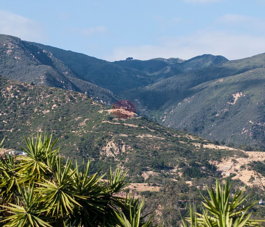
I am on a hilltop in Santa Barbara that has a surrounding valley of about 200 degrees. There are a few homes, mostly small ranches and a college off to one end. I have been wanting to fly my Solo to a line of sight hilltop that has the remains of a famous, unoccupied spa that has some beautiful remaining structures. I would like to film one orbit and then return. According to Google Maps a straight line from here to there is 1.43 miles and the elevation increase is about 1000 ft. I start at 600 ft above seal level so will end up at 1600 ft at the destination. My bird came with a Rev. B board but I had lost GPS in some trees so have installed a MRO. I also have Alpha antennas. The college will be putting out some WiFi but I should be about 1000 ft above and a quarter mile away. I have both the Solo app and Solex. Will the Solex app make preflight calculations in the "from here to there" setup or should I just fly manually?
I have been putting this run off as we have had consistent high winds during the last couple of weeks but expect calmer conditions this week. The photo is with a telephoto.
Do you think I can make it?
